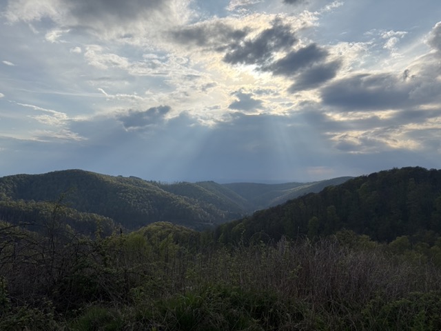
On 23/04/2025 I activated Aschentalshalbe. This is a lovely summit in the Harz, with the hike there and back offering fantastic views of the surrounding mountains. The Harz is a region in the middle of Germany, and used to be synonymous with tree covered peaks, but unfortunately due to drought and fires, 20,000 hectares of forest have died. Whilst some views still offer the views of tree-topped mountains stretching as far as you can see, many summits have suffered. The peaks lined with dead trees are a shocking and impressive sight in their own right, and are indicative of the period of change happening in the region.
We spend the night in the van in Sieber – you can stay there for free, with access to the public toilets nearby. (There is a donation box next to the swimming pool that you can donate to, which supports the upkeep of the carpark and pool.) From Sieber, the walk to the Aschentalshalbe summit is about 4km, with roughly 450m of elevation gain. There are several different routes up to the summit that you can take. The route up to the summit that we took can be seen on OS maps here: https://explore.osmaps.com/route/26363488/squiggly-?lat=51.69069&lon=10.42977&zoom=14.4937&style=Standard&type=2d It starts off pretty steeply, with a zig zag path, that eventually levels out at Breitentalskopf.
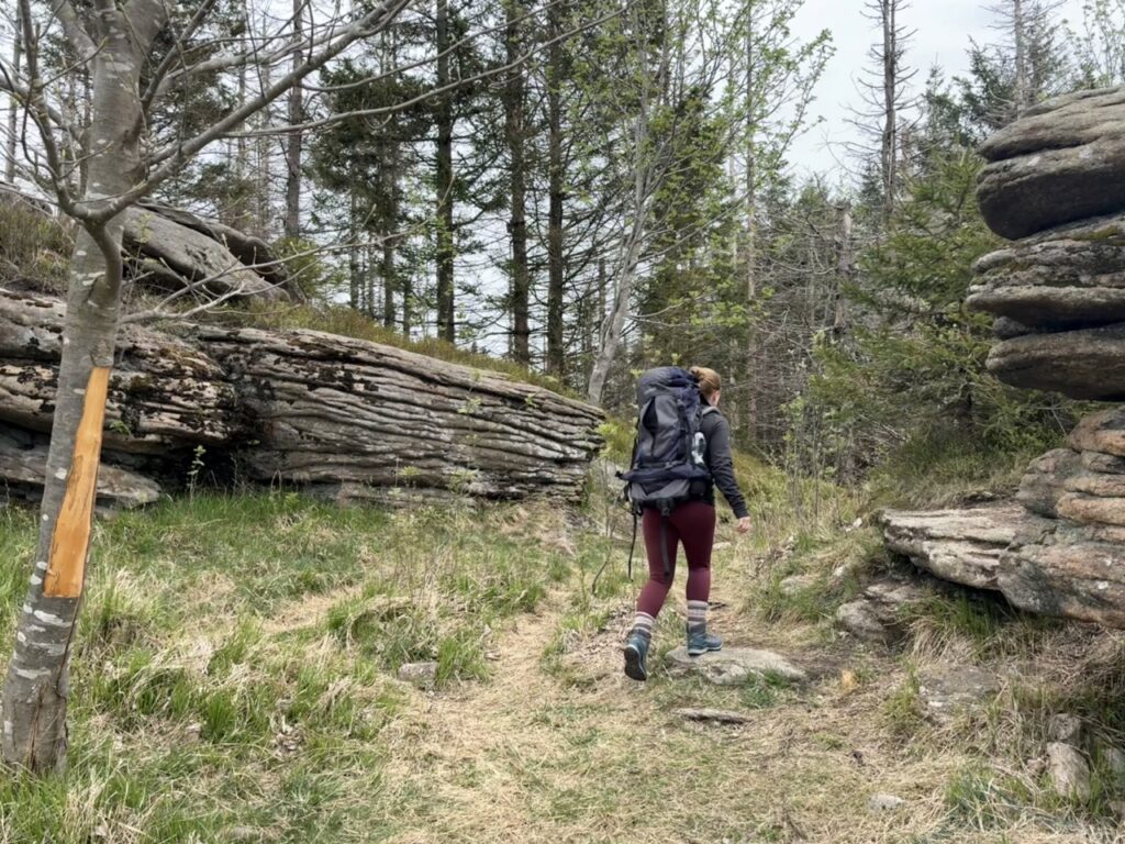
The radio bag, whilst feeling so light once we started, got heavier and heavier as we went up the mountain! Considering that I packed only the radio gear, water and snacks, I was suprised at how full the bag was, and how heavy it seemed! In hindsight, I did not need to take all the radio stuff up with me (I had a second antenna in the bag, which I did not use). When I plan longer days on the mountains for SOTA activations, I will need to really take only the necessary radio gear with me.
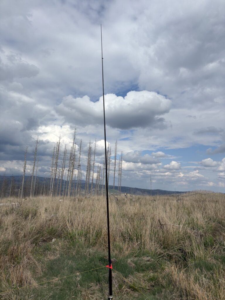
Once at the top of the summit, we set up the ground plane antenna for 10m, and I spotted myself on SOTAwatch. I did not need to call CQ for very long, before getting a QSO! That means that the activation of the summit was successful – but in order to get the summit points, you need a total of 4 QSOs. After fruitlessly calling CQ for another 10 minutes, I switched over to 2m, and made two QSOs. That meant that only one QSO was necessary for the summit points! After another 30 minutes had passed, I was close to giving up, until I heard a station that was rattling through QSOs. I joined in the pile-up and was suprised to find that I made my way through, and got the final QSO required. It took nearly one hour in total. The log can be found here: https://www.sotadata.org.uk/en/logs/activation/1076819
We decided to take a different route down from the summit, which can be viewed on OS maps here: https://explore.osmaps.com/route/26370756/to-sieber-from-dmns111?lat=51.68816&lon=10.42829&zoom=14.3654&style=Standard&type=2d This was a lovely route down, with stunning views of the surrounding mountains. In total, we spent 2 hours and 20 minutes to complete the circular walk to the summit and back, and spent one hour at the summit on activation, so it’s one that is easily doable in half a day.